
Looking Up North Haven Neighbors
North Haven's immediate-block record trail has several keepers. MapGeo supplies parcel shape and touching polygons. The assessor connects an address to a public property card. Cott records deed parties, while Connecticut's voter lookup can provide a town-registration signal. A library directory, newspaper, or local group can add a dated clue. These sources describe different roles, so an owner, occupant, mailing address, and historical neighbor are not the same fact.
| Source | What It Shows About a Block | Access |
|---|---|---|
| North Haven MapGeo | Boundaries, street relation, adjacent polygons, and verified layers | Free visual map; current controls need manual capture |
| PropertyRecordCards | Assessed name or entity, situs, MBL, use, acres, zone, and buildings | Free North Haven search |
| Town Clerk / Cott | Recorded parties, legal descriptions, transfers, maps, and releases | Login or payment; counter or paper fallback |
| Connecticut voter lookup | Public town or address registration signal when available | Official lookup; full file has separate rules |
| Building and court records | Address projects, inspections, certificates, or covered property cases | City Squared, office, or Judicial Branch |
| Directories and newspapers | Dated occupants, businesses, moves, notices, and family clues | Library, archive, or digitized item |
| Community sources | Public notices, meeting routes, and neighborhood context | Organization page; rosters may be absent or private |
Use the least sensitive source that answers the question. If a map selection fails, the assessor is the address fallback. If a Cott image is gated, ask the North Haven Town Clerk about counter, mail, or paper-book access. For older residents, start with North Haven Library or archive staff. A narrow Connecticut FOI request can reach a non-exempt municipal record, but not protected voter, court, birth, adoption, utility, or DMV information.
See a North Haven Block in MapGeo
North Haven MapGeo is the spatial starting point when the question is which parcels touch an address. Enter the street and number, identify the parcel, and inspect surrounding polygons instead of assuming the nearest number is next door. The capture confirmed the live map shell but not its field labels, layers, identify results, or radius tools. Verify those mechanics during use. If no owner link appears, carry the parcel number or MBL to the assessor.
The North Haven MapGeo viewer is the public map route for the parcel image. Check the live map for its current layers and parcel behavior.
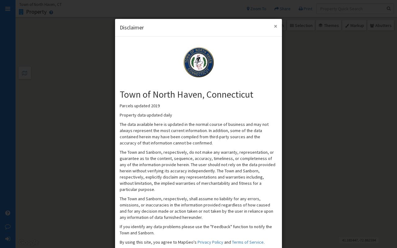
MapGeo can show where a parcel sits and what touches it, but it does not turn a boundary into a household roster. Keep the map date, selected parcel, and source link with any block note.
Mapping a North Haven Block
The adjacent-parcel method works outward from one known address. It covers a block or radius, not every name on a full North Haven street. Rear lots, common parcels, condominium units, public land, and side streets can change what “next door” means.
- Open MapGeo and locate the address. Select the parcel, then note its boundary, street relation, and displayed parcel ID or MBL.
- Click each touching polygon. Check both sides, rear lots, side parcels, and shared or condominium land.
- Carry each identifier to PropertyRecordCards. Record the situs, assessed name or entity, MBL or Unique ID, use, and mailing-address difference.
- Keep the date and source. An assessor card is ownership evidence, not proof that a named person occupies the building.
- For history, move to the Town Clerk's Cott index. For a whole named street, use the North Haven street directory workflow.
Save only what the block question needs. Unnecessary mailing details can expose people without improving the comparison. Ask the custodian whether a missing field reflects protection, a parcel type, or a portal limit.
The North Haven MapGeo neighbors view gives the block-centered capture route for checking a selected parcel against nearby polygons.
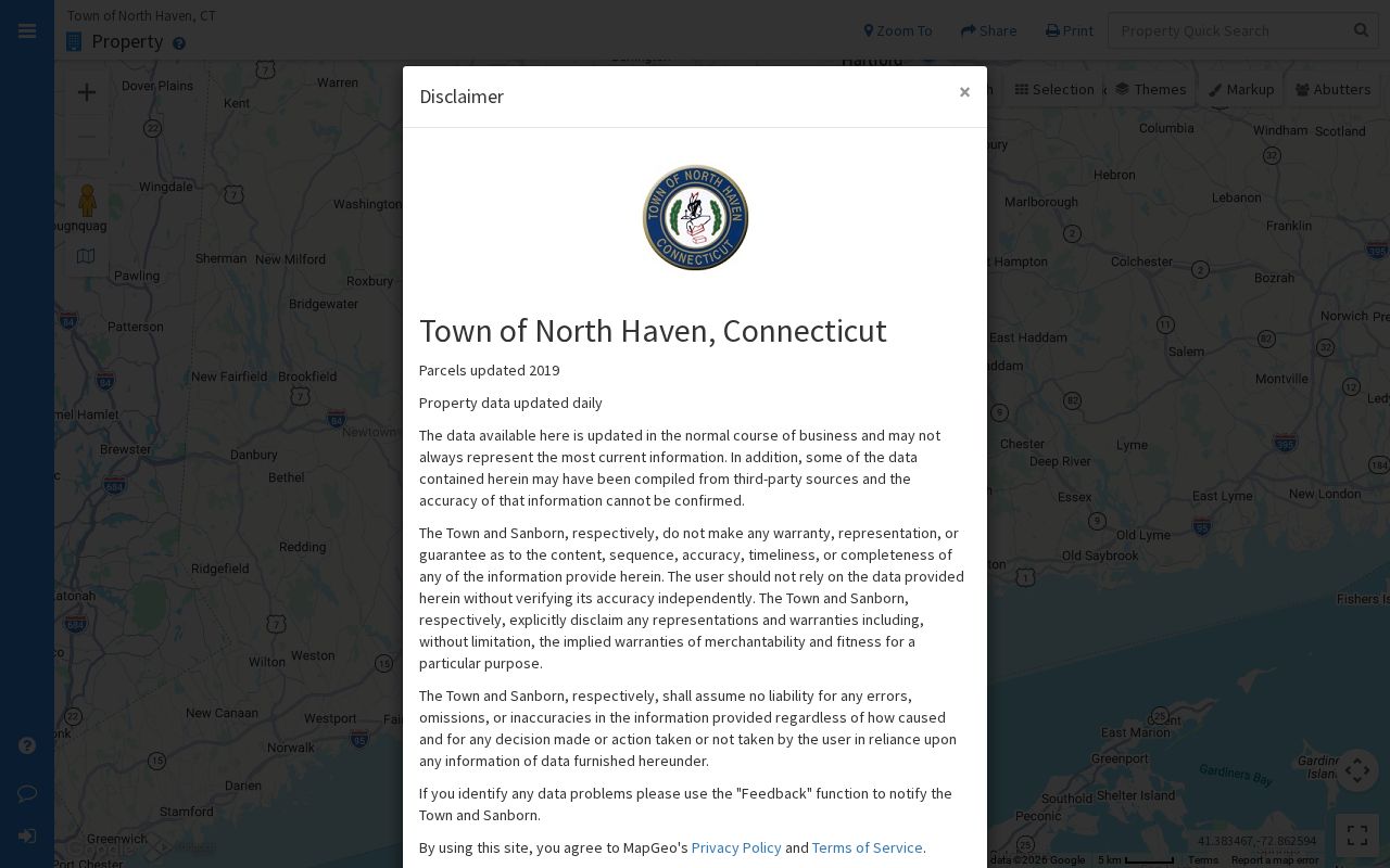
The centered view is a visual aid, not a claim that every displayed shape has the same street address or record status.
North Haven Assessor Block Table
North Haven PropertyRecordCards is the clearest free source for comparing parcels after MapGeo supplies their identifiers. Its Property Search accepts Property Use, Owner Name, Location, street type, MBL, Unique Identifier, and Condominium Complex. The portal recommends a last-name-only owner search, while a blank location searches all locations, so narrow the street or number first.
| Public field | Use in a North Haven block comparison |
|---|---|
| Street Name, Number, Unit | Separates each situs and catches unit or rear-lot differences. |
| Name | Shows the assessed owner or entity, not every household member. |
| Uniqueid and MBL | Parcel clues to carry between the card, map, and deed search. |
| Property Use | Distinguishes residential, vacant, public, commercial, church, school, and other uses. |
| Acres, Zone, Buildings | Compares parcel scale and built features without creating personal facts. |
| Condo Complex | Flags a shared setting where unit and common-parcel research may differ. |
The assessor's Sales Search adds property type, sale date and price ranges, acreage, MBL, zone, design, year built, rooms, bedrooms, and baths. Those filters can date a parcel, but neither tab establishes occupancy. Keep the situs separate from the owner mailing address, which may point outside North Haven.
Cott Deeds for North Haven Parcels
Use Cott after the block map and assessor card identify the parcel. Search the assessed owner as grantee, read the prior grantor, legal description, recording date, book or page, and referenced map, then search that grantor as grantee to move backward. A deed chain shows title events, not all past occupants.
North Haven's Certified Dates screen shows land records January 4, 1965 through May 14, 2026, a maps and surveys row dated January 1, 1901, and trade names January 5, 2010 through May 14, 2026. The gateway requires a user ID, password, and payment elements. Post-login fields, image fees, limits, and pre-1965 status were not exposed.
For an older parcel or missing image, ask the Town Clerk forms desk about counter, mail, paper-book, map, or certified-copy access. Also check the Tax Collector and WPCA or Public Works, since Cott omits tax and sewer-use liens.
Note: A clean Cott result is not a complete lien search because tax and sewer-use liens require separate checks.
North Haven Voter Visibility
Connecticut's Secretary of the State lookup can add a town-registration signal when a name and town match. It is not a household list. Public fields are limited, and the 2026 rule leaves birth year public while month and day remain exempt. A result can be active or inactive; a missing result can reflect spelling, another town, maintenance, or protection.
Use the official lookup first, then contact North Haven's Registrars of Voters through Town Hall if status needs explanation. The full voter file is a separate $300 CSV request requiring an authorized election-related, scholarly, journalistic, political, or governmental purpose. Its form bars private use, advertising, solicitation, sale or marketing, harassment, and display. It is not a shortcut for publishing nearby names.
Voter privacy and Safe at Home can suppress street or house information. An absent result does not mean an empty parcel. Voter history shows participation, not ballot choice, and a match does not prove ownership or list everyone in a home.
North Haven Permits and Street Clues
Building records add an address layer without becoming a resident directory. North Haven's Building Department at the Town Hall Annex routes simple online permits and status work through City Squared from 2021; older forms and questions go to the office. The process moves from plan review to permit, inspection, and a final certificate. Applications can carry address, owner or contractor role, project, utilities, wetlands, setbacks, value, and inspection dates. No public case-status index was located, so use the portal, office, or focused municipal request.
Older research needs more than modern spelling. North Haven sources name Washington Avenue, Pool Road, Quinnipiac Avenue, Blue Hills Road, Sackett Point, Blakeslee Avenue, and Clintonville Road. They identify Northeast Village, Clintonville, and Pines Bridge, while the POCD places Center Block around the Green. No street-renumbering or E911 date was located. Test former names, cross streets, and legal descriptions. The North Haven historical city directory collections cover the older street-index method.
North Haven Community Contacts
Community sources show how a block connects without offering a household roster. They point to announcements, meetings, archives, or civic contacts. Treat membership as private unless an organization clearly publishes it, and use the public route rather than asking a volunteer group to confirm a neighbor.
North Haven Manor
Public announcements are available. The member section is password-protected, and no public member list was located.
North Haven Land Trust
The official Land Trust route supplies civic land context. The public site returned a 403 during capture, and no roster was found. A state conservation directory lists PO Box 262, North Haven 06473.
North Haven Trail Association
The volunteer page lists third-Monday meetings at 7 p.m. at the Recreation Center, PO Box 8, and info@northhaventrails.org. No member roster is published.
Historical Society
The Historical Society route is the Cultural Center at 27 Broadway, with 203-239-7722 and nhhistsoc@gmail.com. Online property pages omit current owners and addresses; the complete database is at headquarters.
The North Haven Trail Association contact page shows the difference between a public volunteer channel and a membership directory. Its meeting detail can connect a person with a civic group, but cannot identify who lives on a nearby parcel.
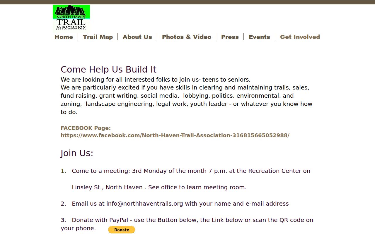
The Trail Association image preserves the public contact route, not a list of North Haven neighbors.
The North Haven Manor announcements page confirms the neighborhood layer while making the private member area visible.
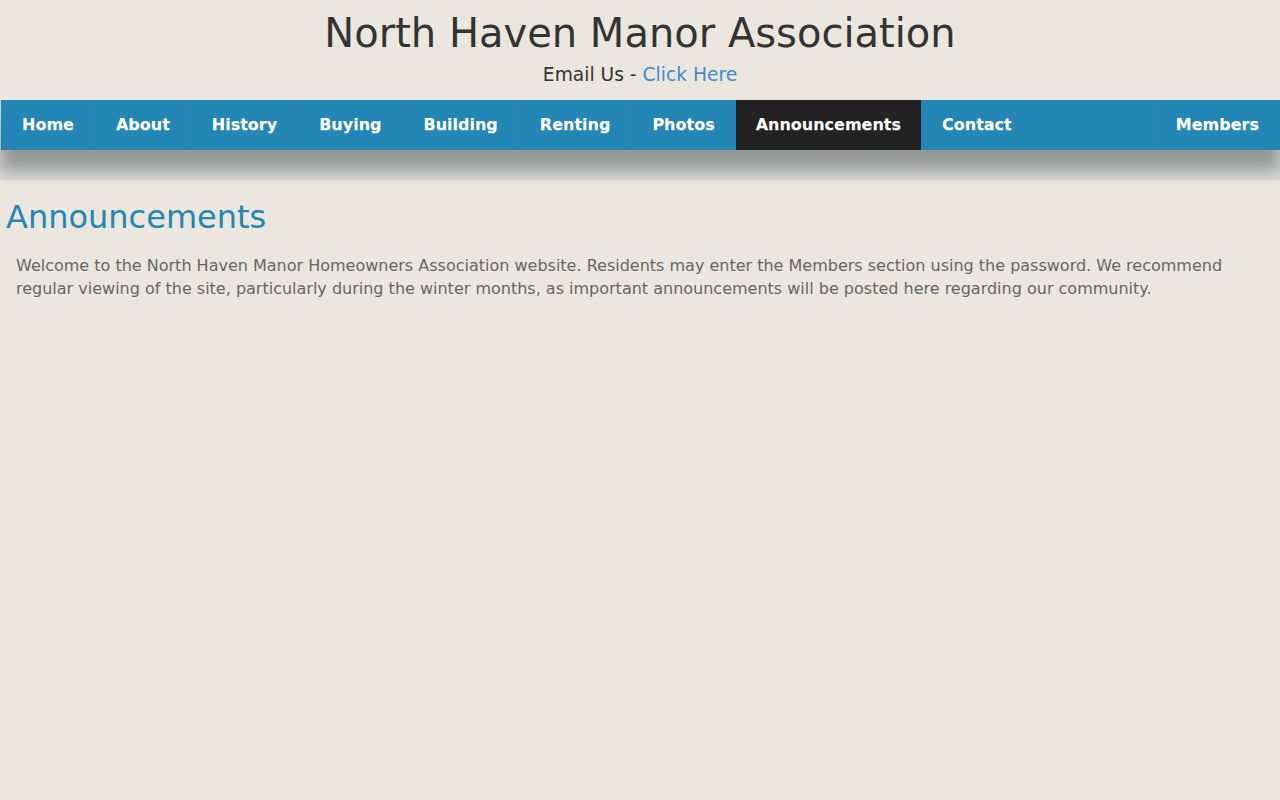
That password-protected boundary is part of the record: public notices are open, while member names and contacts should not be inferred.
Privacy Limits on a North Haven Neighbor Lookup
Official North Haven records are stronger than a commercial neighbor tool for checking a parcel, but each has a narrow purpose. A map shows geometry, an assessor card shows assessment ownership, Cott shows recorded parties, a voter lookup shows a limited match, and an old directory shows a dated clue. None establishes every current occupant. Utility, delivery, DMV, protected-program, and household-member data stay outside this workflow.
Official records
Custodian-linked, dated, and tied to a defined purpose. Better for checking a parcel, title event, civic contact, or historical clue.
Commercial neighbor tools
May combine public and purchased data, but identity matches, freshness, source dates, and removal practices vary. Treat results as unverified leads.
Connecticut's Address Confidentiality Program and voter-privacy process can hide a protected person's street or house information. A court, birth, adoption, or voter restriction is not overcome by broad FOI. For a safety concern, preserve the date and source, use the custodian or local police contact, and do not publish a private address.
Lawful personal use. North Haven neighbor records are for ordinary personal, family-history, civic, and safety research. Do not use a parcel or voter result to stalk, harass, intimidate, or expose another person. Connecticut stalking and harassment laws, including CGS §§53a-181c, 53a-181d, and 53a-183, set a serious boundary around misuse.